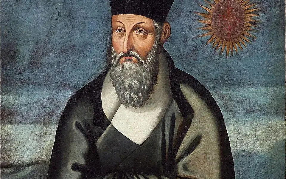
Matteo Ricci and Chinese collaborators drew and printed world maps that introduced European geographical knowledge to late-Ming readers. They rendered many place names in Chinese.
The maps spread alongside religious, linguistic, and scholarly exchange. Different editions and translated names reflect the adjustments made as knowledge crossed cultures.
History
Matteo Ricci (1552–1610) was a Jesuit priest. Ricci was one of the first Western scholars to live in China and he became a master of Chinese script and Classical Chinese. In 1583, Ricci was among the first Jesuits to enter China from Macao. The first Chinese world map was named and made in Zhaoqing in 1584 by Matteo Ricci with Chinese collaborators. Ricci had a small Italian wall map in his possession and created Chinese versions of it at the request of the governor of Zhaoqing at the time, Wang Pan, who wanted the document to serve as a resource for explorers and scholars.
On January 24, 1601, Ricci was the first Jesuit – and one of the first Westerners – to enter the Ming capital Beijing, bringing atlases of Europe and the West that were unknown to his hosts. The Chinese had maps of the East that were equally unfamiliar to Western scholars.
In 1602, at the request of the Wanli Emperor, Ricci collaborated with Mandarin Zhong Wentao, a technical translator, Li Zhizao, and other Chinese scholars in Beijing to create what was his third and largest world map, the Kunyu Wanguo Quantu.
In this map, European geographic knowledge, new to the Chinese, was combined with Chinese information unknown to Europeans to create the first map known to combine Chinese and European cartography. Among other things, this map revealed the existence of America to the Chinese. Ford W. Bell said: "This was a great collaboration between East and West. It really is a very clear example of how trade was a driving force behind the spread of civilization."
Several prints of the Kunyu Wanguo Quantu were made in 1602. Most of the original maps now are lost. Only six original copies of the map are known to exist, and only two are in good condition. Known copies are in the Vatican Apostolic Library Collection I and at the James Ford Bell Library at the University of Minnesota. The Vatican's 1602 copy was reproduced by Pasquale d'Elia in the beautifully arranged book, Il mappamondo cinese del P Matteo Ricci, S.I. in 1938. This modern work also contains Italian translations of the colophons on the map, a catalogue of all toponyms, plus detailed notes regarding their identification.
Other copies of the 1602 map are located at: Japan, Kyoto University Collection; collection of Japan Miyagi Prefecture Library; Collection of the Library of the Japanese Cabinet; and a private collection in Paris, France. No original examples of the map are known to exist in China, where Ricci was revered and buried.
The maps received widespread attention and circulation. The governor General of Guizhou reproduced a copy of the map in a book about Guizhou published in Guiyang in 1604. Ricci estimated that more than 1,000 copies of the 1602 edition were reprinted.
Various versions of the map were exported to Korea and later Japan. The first Korean copy was brought back from Beijing by visiting ambassadors in 1603. It is 533×170 cm, on mulberry paper. This map was brought to Korea in 1603 by Lee Gwan-jeong (Korean:) and Gwon Hui (Korean:), two envoys of Joseon to China. An unattributed and very detailed two page coloured edition of the map, known in Japanese as Konyo Bankoku Zenzu, was made in Japan circa 1604. Within this Japanese export copy, Japanese Katakana is utilised for foreign location names throughout the Western world.
The Gonyeomangukjeondo (Korean:) is a Korean hand-copied reproduction print by Painter Kim Jin-yeo in 1708, the 34th year of King Sukjong's rule of Joseon. It is owned and displayed at Seoul National University Museum, and is a National Treasure. The map shows five world continents and over 850 toponyms. It contains descriptions of ethnic groups and main products associated with each region. In the margins outside the ellipse, there are images of the northern and southern hemispheres, the Aristotelian geocentric world system, and the orbits of the Sun and Moon. It has an introduction by Choe Seok-jeong providing information on the constitution of the map and its production process.